
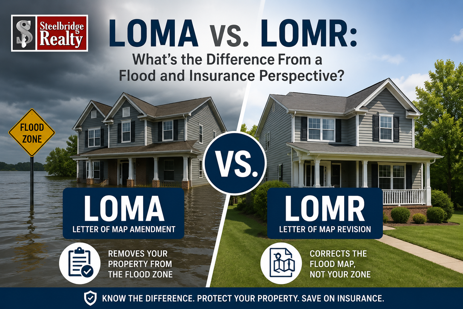
In today’s Florida real estate market, flood zones and insurance have become some of the biggest drivers of liquidity, financeability, and buyer confidence.
A property can look perfect online and still become difficult to finance once flood insurance and elevation issues enter the conversation.
Two terms that regularly confuse buyers, sellers, agents, and even investors are:
- LOMA
- LOMR
They sound similar, but they mean very different things from a flood risk and insurance perspective.
What Is a LOMA?
A LOMA stands for:
Letter of Map Amendment.
This is typically a property-specific determination issued by FEMA stating that a structure or parcel was incorrectly placed inside a flood zone based on actual elevation data.
In simple terms:
The flood map says the property is in a high-risk flood zone, but the elevation data shows the property is actually above the required flood elevation.
A common example:
- A home is mapped in an AE flood zone
- A survey and elevation certificate prove the natural ground or finished floor elevation sits above the Base Flood Elevation (BFE)
- FEMA agrees and issues a LOMA
What Happens After a LOMA?
A LOMA can:
- Remove the structure or lot from the Special Flood Hazard Area (SFHA)
- Potentially eliminate the mandatory flood insurance requirement for federally backed loans
- Improve financeability and marketability
- Reduce carrying costs for the owner
Importantly, a LOMA usually does not redraw the flood map for the surrounding neighborhood.
It is focused on a specific property.
Key Concept
A LOMA is essentially FEMA saying:
“This property probably should not have been mapped into the flood zone in the first place.”
What Is a LOMR?
A LOMR stands for:
Letter of Map Revision.
This is broader and more engineering-intensive than a LOMA.
A LOMR officially changes FEMA’s flood map because physical conditions affecting flooding have changed.
Examples include:
- New development
- Drainage improvements
- Canal modifications
- Retention ponds
- Road elevation changes
- Large-scale grading or fill work
Unlike a LOMA, a LOMR can impact:
- Entire subdivisions
- Multiple parcels
- Larger geographic areas
These revisions often require:
- Hydraulic studies
- Engineering reports
- Drainage modeling
- FEMA review and approval
What Is a LOMR-F?
One variation you will often hear in Florida is a LOMR-F:
Letter of Map Revision Based on Fill.
This means fill dirt was brought onto the site to elevate the property above flood elevation requirements.
This is an important distinction.
A standard LOMA often reflects naturally higher ground.
A LOMR-F reflects engineered elevation created through fill.
Why This Matters to Buyers and Investors
From a FEMA compliance standpoint, both may technically remove a property from a mandatory flood insurance requirement.
But from a practical insurance and marketability standpoint, they are not always viewed equally.
In Southwest Florida especially, insurers and buyers have become far more sensitive to:
- Drainage performance
- Site elevation quality
- Water intrusion history
- Storm surge exposure
- First finished floor elevation
- Surrounding grade behavior during heavy rain events
A property that sits naturally above flood elevation may be viewed differently than one elevated through engineered fill.
That does not automatically make a LOMR-F property “bad,” but it does mean:
- Underwriting scrutiny may increase
- Insurance options may vary
- Buyers may ask more questions
- Future drainage performance matters
The Bigger Picture: Insurance Is Reshaping Liquidity
For years, buyers focused primarily on:
- Kitchens
- Flooring
- Countertops
- Cosmetic upgrades
Today, financed buyers increasingly focus on:
- Roof age
- Flood zones
- Wind mitigation
- Plumbing type
- Electrical systems
- Elevation and drainage
Insurance has become one of the largest gatekeepers in the Sunbelt housing market.
Liquidity is shifting from aesthetics toward insurability.
That is why understanding the difference between a LOMA and a LOMR matters more than ever in markets like Southwest Florida.
Simplified Summary
LOMA
The property was likely mapped incorrectly and naturally sits above flood elevation.
LOMR
The flood map changed because physical land or drainage conditions changed.
LOMR-F
The property was elevated with engineered fill to meet flood elevation requirements.
Understanding the difference can help buyers, investors, and property owners better evaluate:
- Risk
- Insurance costs
- Financeability
- Long-term marketability
- Exit liquidity
And in this market, liquidity matters.
Views: 53